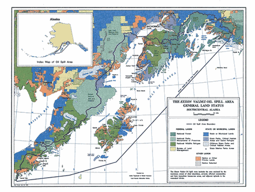
At the Council’s January 19, 2021 meeting, the Council approved a limited extension of the oil spill area boundary eastward to incorporate the Copper River Delta and the Bering River, including its headwaters (see Resolution 21-03). Restoration activities will still occur primarily within the Spill Area.
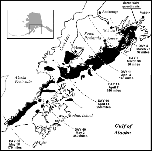
Source: 1993 State On-Scene Coordinator's Report
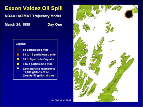
Click on the image below to view the NOAA Hazmat Trajectory Model of the Exxon Valdez Oil Spill. This series of 7 slides charts the spread of the oil March 24-30, 1989, in Prince William Sound (this is not the full extent of the spill).